
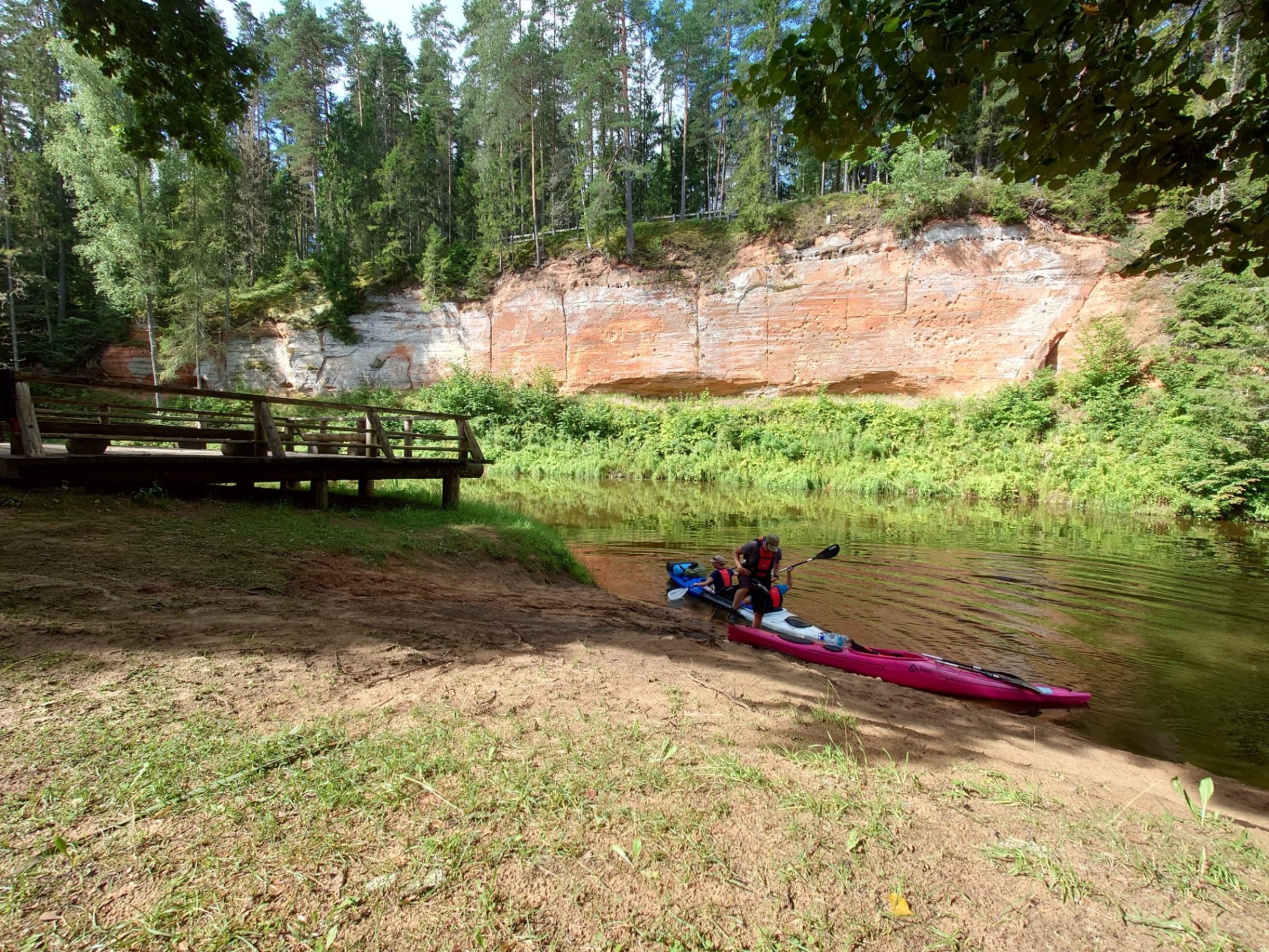
It took me three attempts to finally make it to the Salaca. The year before, I had it all planned out — and then life got in the way. Earlier this summer, we tried again — same story. But on the third attempt, I made a firm decision: come hell or high water, this trip was happening no matter what. I've paddled quite a few Latvian rivers over the years, and Gauja had set the bar high. My expectations for the Salaca were equally ambitious.
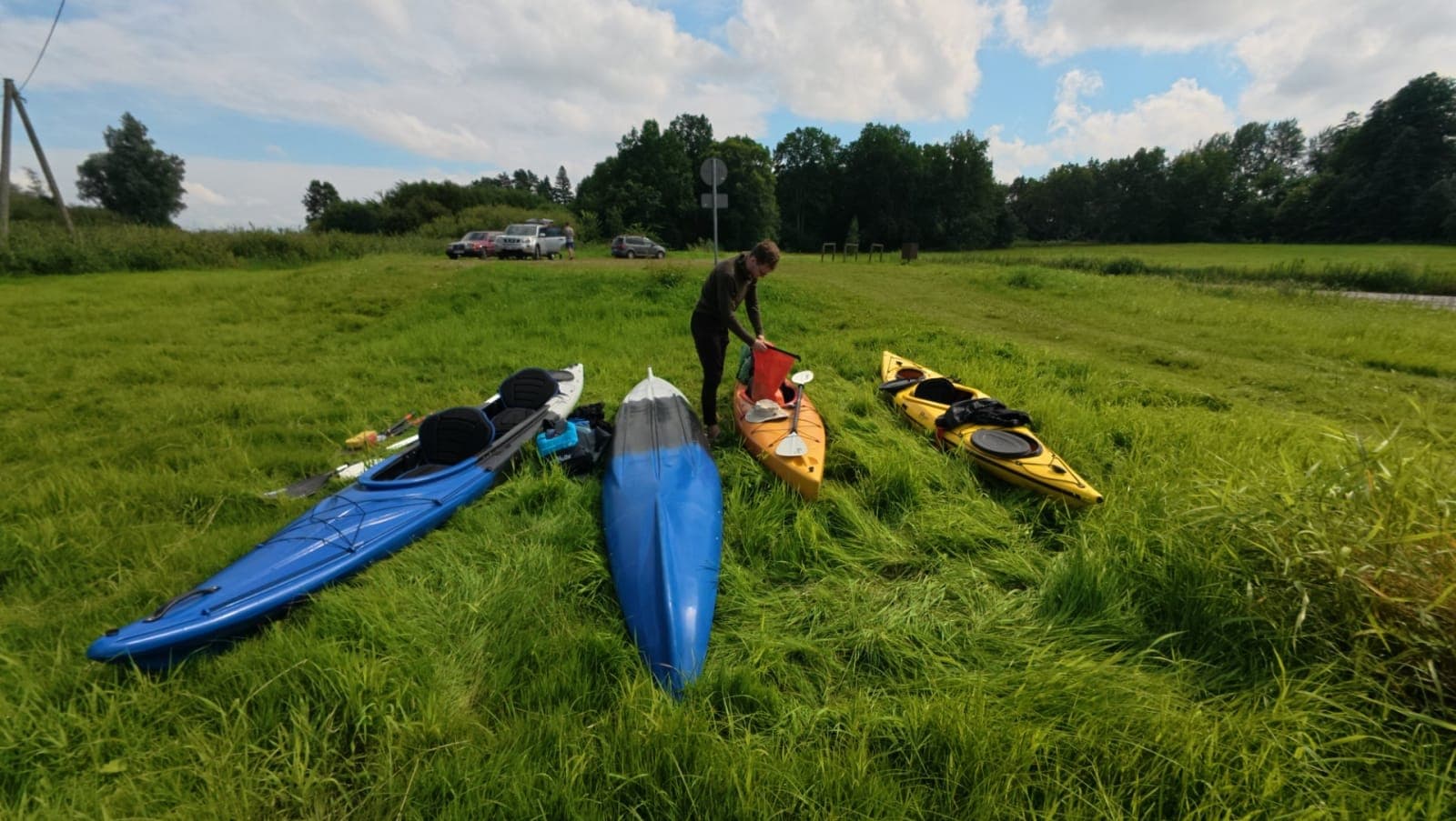
Packing up gear before setting off on the Salaca river trip
We were on the road early in the morning, boats loaded and spirits high. Seven paddlers in total — no small amount of logistics to sort out. First, we shuttled the boats to the put-in, then drove the car and trailer down to the take-out. Finding a safe place to leave the car took a little hunting, but we eventually settled on the fishermen's car park in the small town of Salacgrīva, right on the riverbank — next to the promenade and the lighthouse. Then it was back to the start, near Lake Burtnieks. Everyone gathered, boats were packed, last adjustments made. The water level was higher than usual, the banks slightly flooded. We were quietly hoping the current would carry us along nicely.
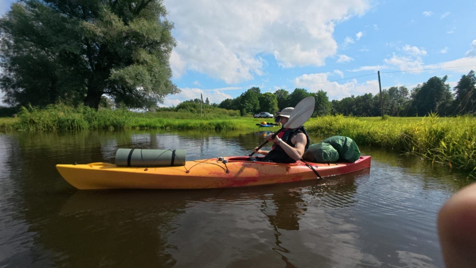
And we're off — the adventure begins on the Salaca
Right from the start, the current was clearly working in our favour. The boats were obviously overloaded — I suspect someone may have packed a few too many cans of beer — yet somehow these floating bathtubs moved along surprisingly well. We were cruising at around 8 km/h, which is genuinely impressive given the weight. For a while it looked like a lovely summer evening lay ahead, but before long dark clouds began to build overhead and the first rumbles of thunder rolled in. By the time we reached Mazsalaca, rain was inevitable. We waited out what seemed like the worst of the storm, then pushed back onto the water — and that's when the real downpour hit. It was a proper deluge, absolutely hammering down. There was no dry shelter to be found, so the easiest thing was simply to keep paddling and stay warm by moving.
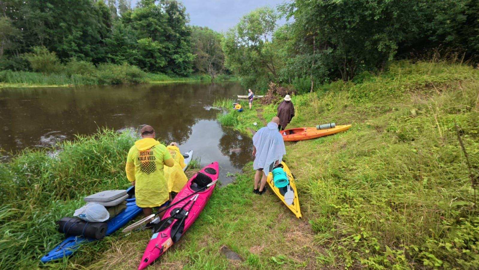
The last calm minutes before the rain rolls in over the Salaca
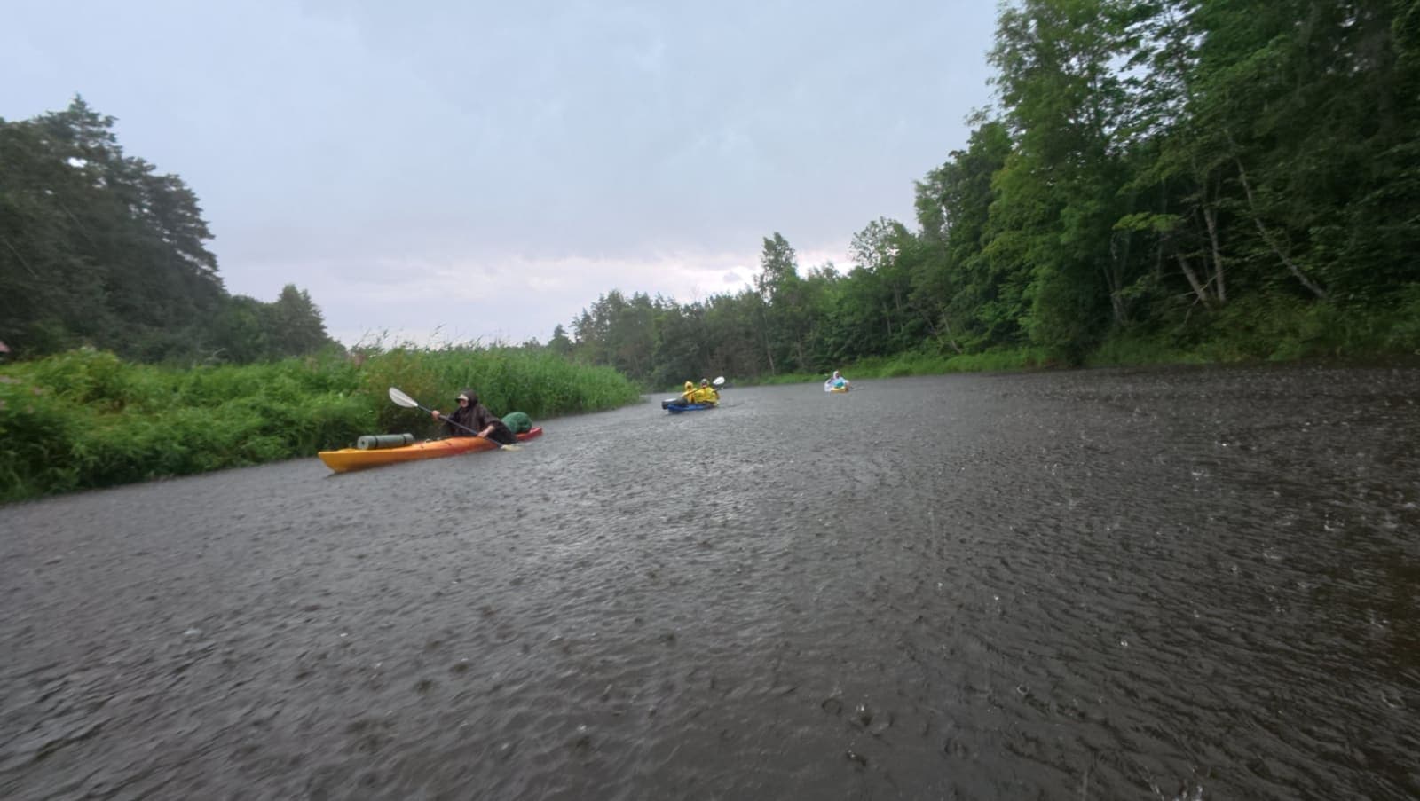
The rain arrives in full force on the Salaca
It was a shame that some of the most beautiful sandstone outcrops happened to fall right in the middle of the downpour. Squinting through a face full of rain, racing to reach camp, was not exactly the moment for quiet contemplation. The Angel's Cave slipped by in my peripheral vision — I managed a couple of photos from the boat, but it wasn't quite the experience I'd been hoping for. Slowly the rain eased off, and by the last few outcrops we finally had a little time to appreciate them properly. I'll say this upfront: Gauja had set the bar so high when it comes to cliffs and outcrops, and somewhere in a tourist brochure I'd read that the Salaca supposedly has the most beautiful outcrops in Latvia. Well — beauty is in the eye of the beholder. To my mind, the Gauja's were more majestic, simply larger in scale. That said, the Salaca's outcrops have something Gauja can't match: a deep, vivid red that gives them a character entirely their own.
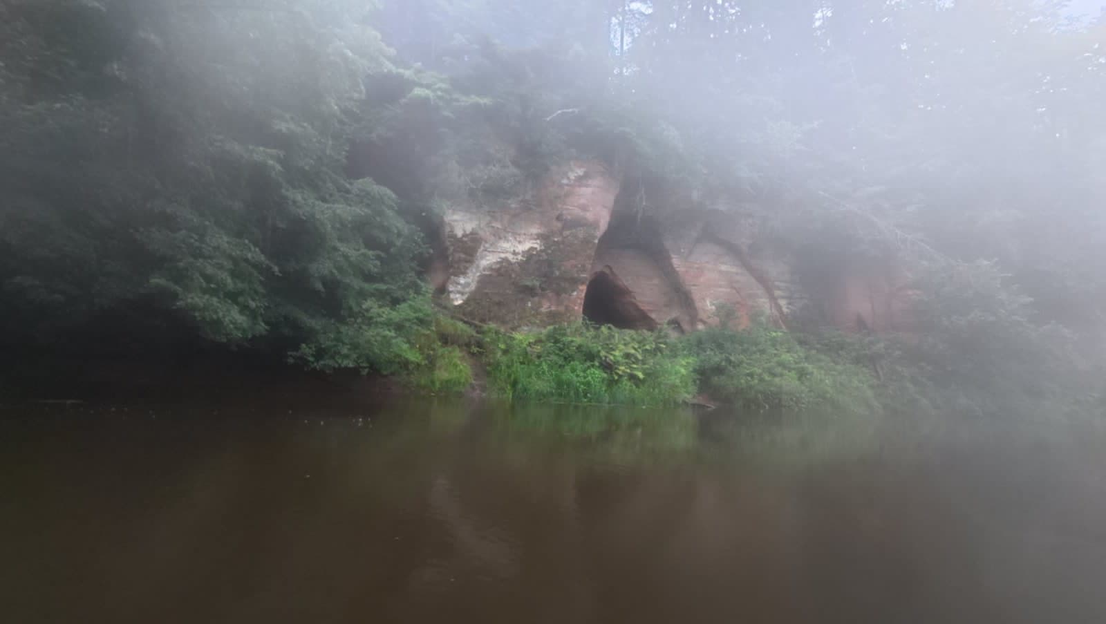
The Angel's Cave along the Salaca river
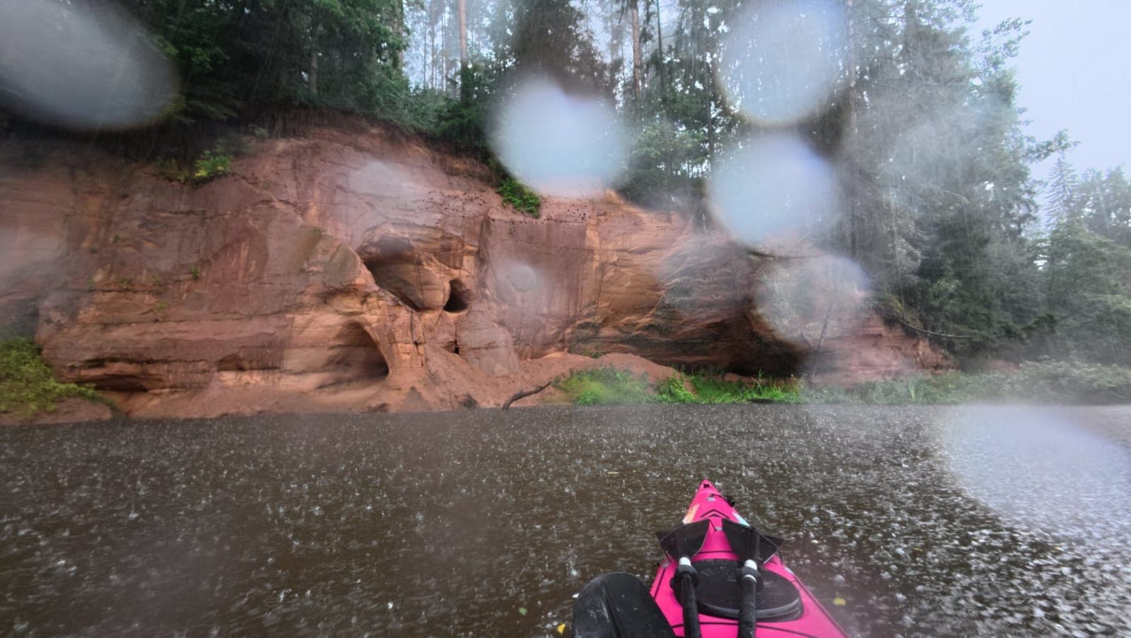
Salaca's red sandstone outcrops in the rain
By the time we reached camp the rain had let up, but the campsite itself was well and truly waterlogged. Fortunately, there was a covered picnic table and a fantastic natural amphitheatre — a wooden platform set directly opposite one of the cliffs, where everyone got to test their vocal range. Let's just say a fair amount of beer was consumed before the singing became truly enjoyable. The first evening in camp was lively and memorable. Come morning, the boats were noticeably lighter, the sun was out, and the gear had mostly dried. Every sign pointed to a far better day on the water ahead.
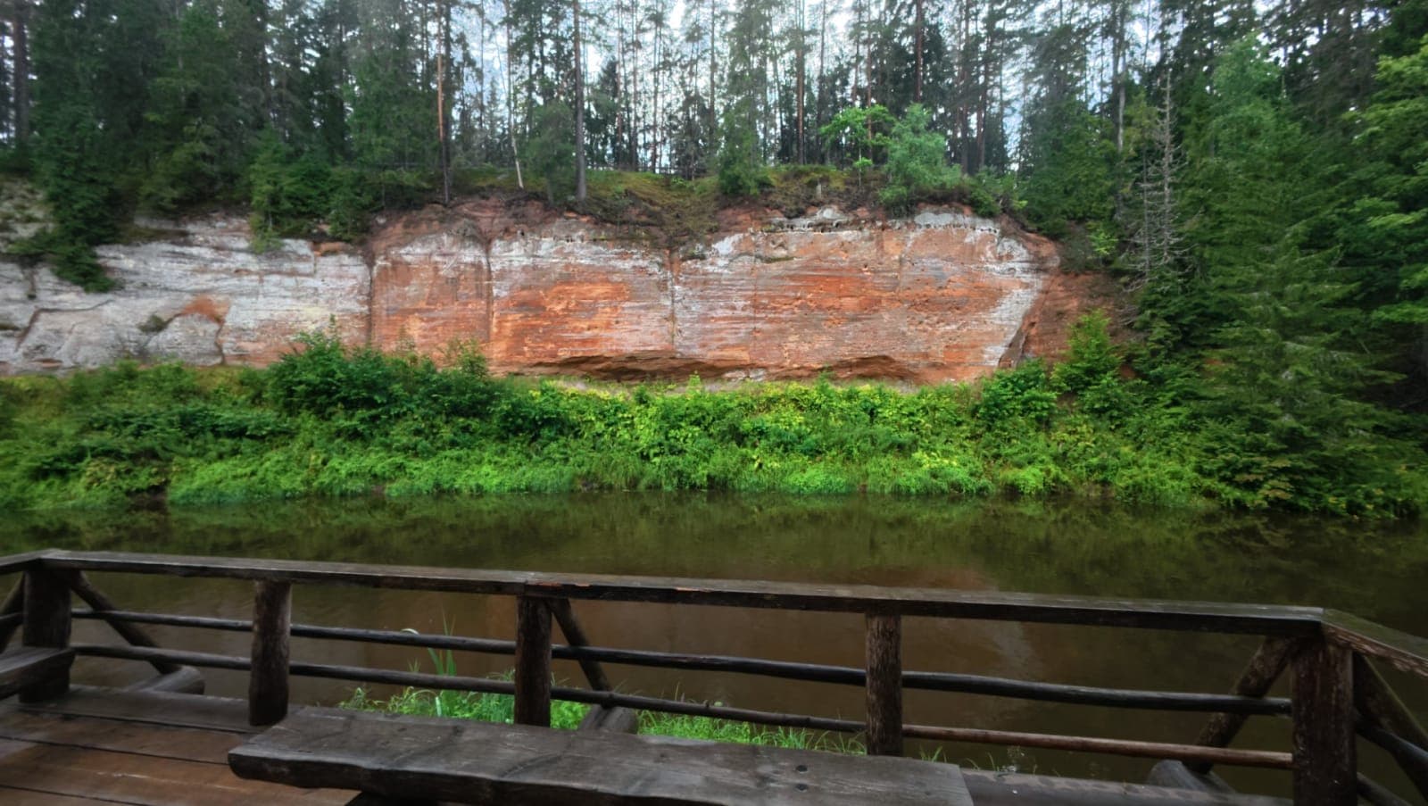
Natural amphitheatre platform on the Salaca riverbank
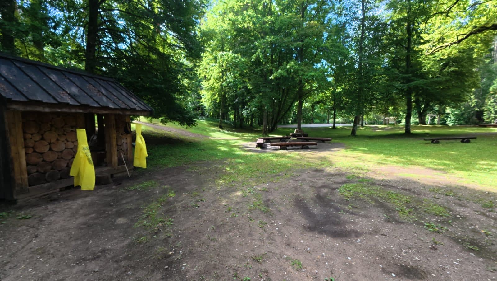
The first campsite already drying out nicely by morning
The second morning was a touch cooler — the thunderstorm had scrubbed the air wonderfully clean, and paddling felt effortless. The original plan was around 25 kilometres, but as tends to happen on these trips, plans have a way of shifting. By the end of the day we'd covered 34. Just a short way downstream from camp we came across a natural spring with wonderfully fresh water. It was clearly a popular stop — the grass was worn flat and we were certainly not the first to fill up there. A lovely little break. After that, we were supposed to pass several caves, including one that's reputedly the largest in the Baltics, stretching over 300 metres. We never spotted an obvious place to pull out along the bank, so they all swept by. Before long, it was time for a lunch break.
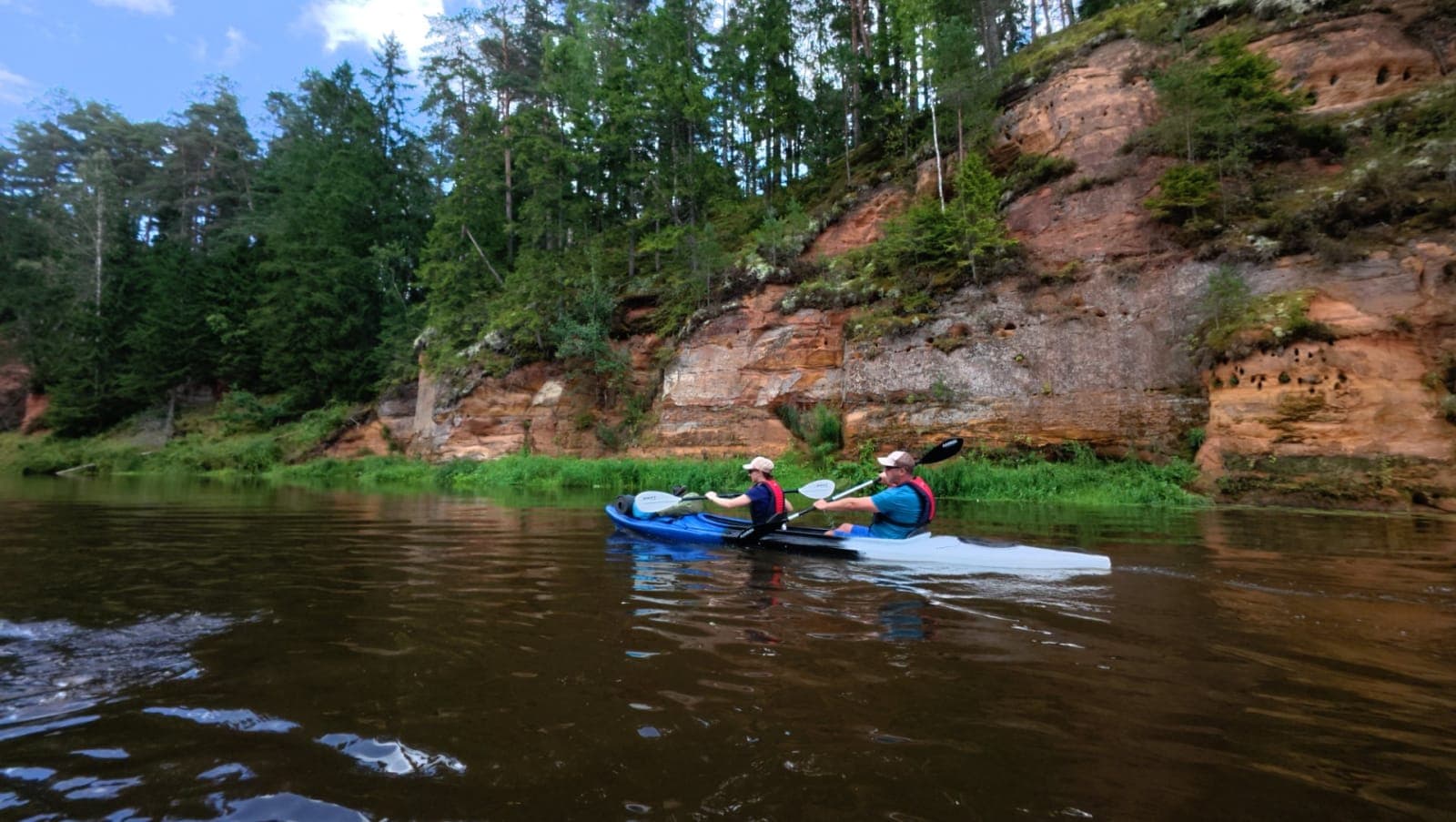
Somewhere around here those big caves are supposed to be hiding
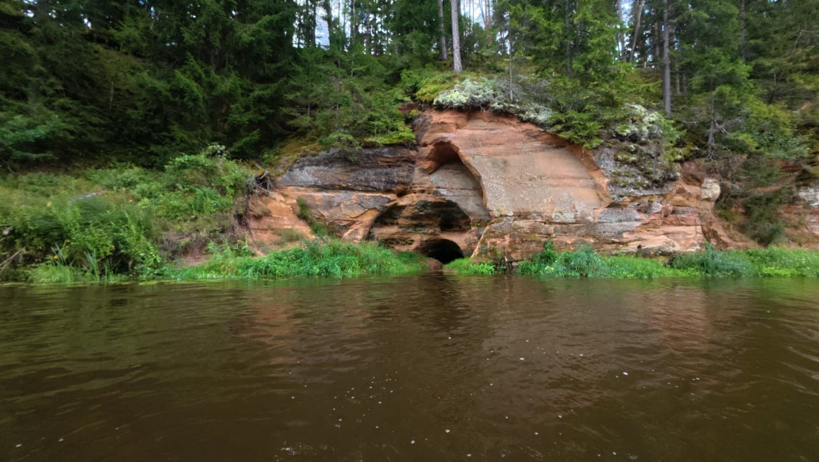
This was one of them — though nobody fancied crawling inside
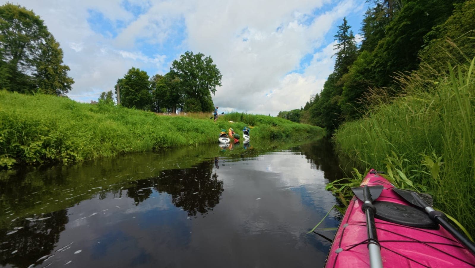
Lunch break on the Salaca riverbank
After lunch we came across a group of young paddlers — kayaks, canoes, and one SUP — spread out across a wide stretch of river. About an hour later we spotted the first adults from the group, anxiously asking whether we'd seen any boats behind us and whether the kids were still alive. After a bit of discussion, we reassured them that everyone seemed to be in one piece — though it was shaping up to be a very long day for them. Meanwhile, we had our own debate going. Since we wanted an easier, shorter day on day three, and we still hadn't found a good campsite, we decided to paddle all the way into the town of Staicele and look for a place to stay there. That decision turned day two into our longest — 34 km in total. By the time we reached Staicele, most of us were running on empty. You know you're approaching town when the paper mill dam comes into view — that impossibly tall chimney stack standing there like it owns the place.
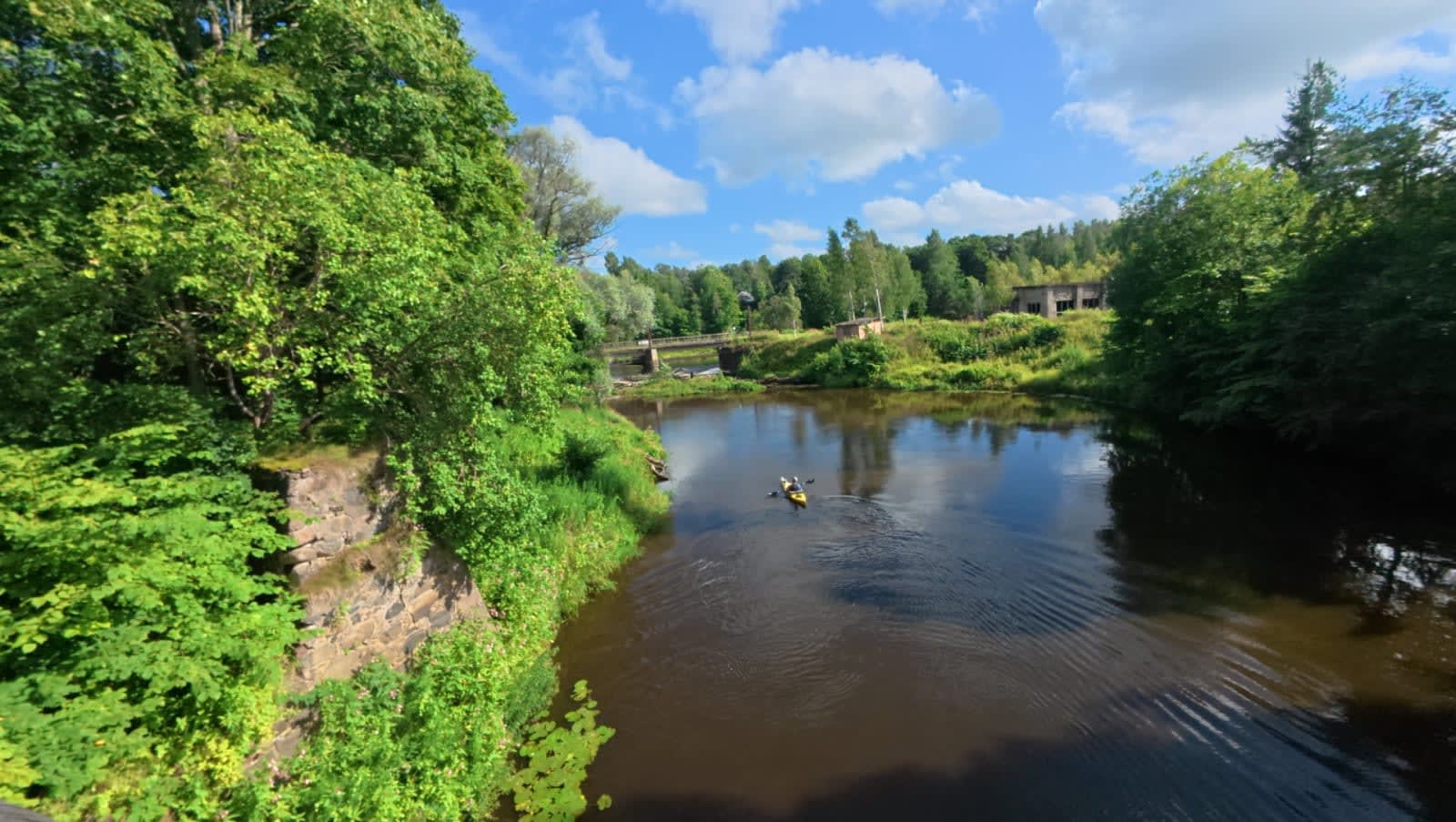
Staicele town viewed from the river
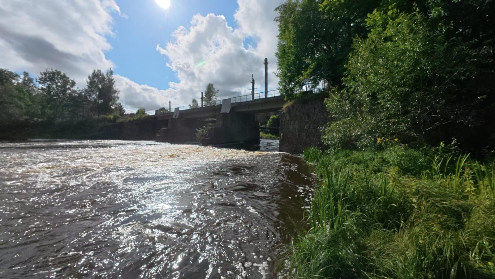
Paper mill dam seen from below
At the dam, the first question was whether we dared to run it. After a lengthy discussion and some research into the experiences shared by the Estonian Whitewater Paddlers Club, we agreed — not this time. Water levels were high, a tree was blocking the safer line, the right side was full of rocks and metal rods, and our boats were heavily loaded. It simply wasn't worth the risk. That meant unloading everything from the boats and carrying them across a suspension bridge — about 200–300 metres of portaging. Since it was already getting late, we decided to camp right there. The town had set up a small campsite nearby: a toilet, a picnic table, and a fire pit. There was even a shop within easy reach. So we unpacked, spent the night, and in the morning carried the empty boats back down to the water's edge. Gear was loaded back in, and just like that — day three began.
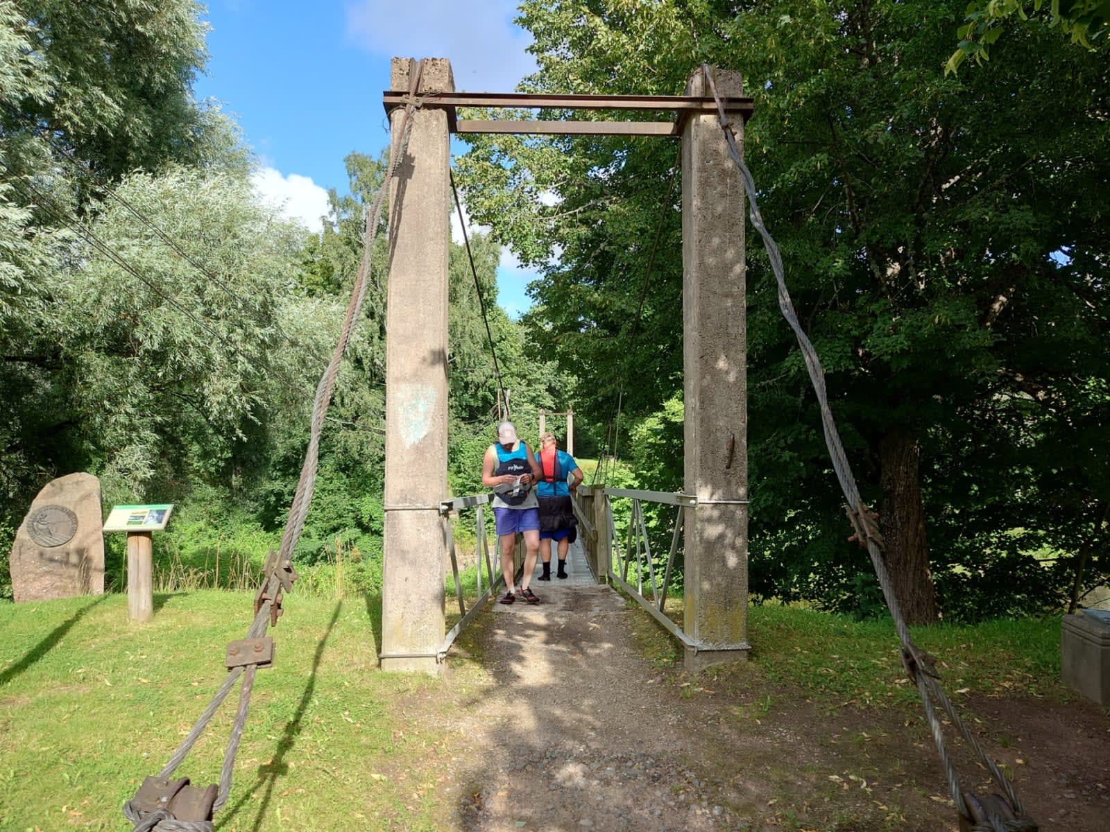
Carrying boats across the suspension bridge at Staicele
Leaving Staicele, we passed under one more metal bridge — this one with a purpose-built passage cut through for boats. The first half of the day rolled by in its usual peaceful rhythm, right up until the lunch break. On day two we had paddled straight past some caves without stopping, but now, with the sun out and the mood light, we finally tracked down one of the larger ones and went in on foot. With headlamps we crawled surprisingly far in — a proper little adventure all of its own. After the caves, we pulled over for lunch at Rozeni bridge, where there are several small campsites. The one on the left bank has a natural spring, complete with a metal pipe fitted to make drawing water easier. Canisters and bottles were topped up with fresh, cold water, and we set off into the second half of the day.
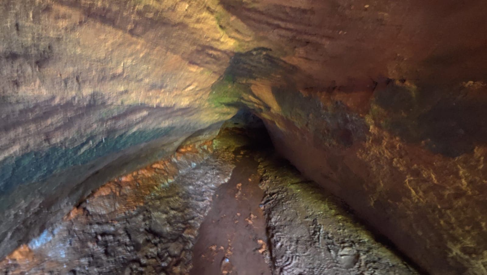
Cave discovered along the riverbank
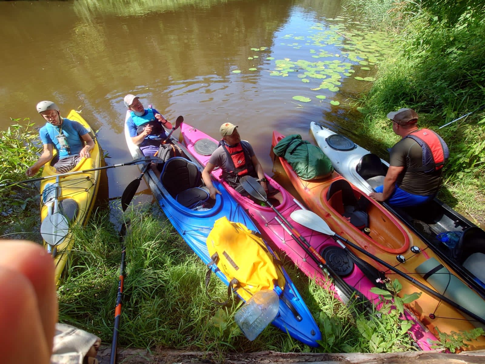
At the entrance of the cave
The first two days had offered only a single small rapid between them, but on day three the river finally started dropping and the afternoon brought a whole string of little rapids one after another. With the water running high, they were pure fun — hit them straight down the middle and off you go. At lower water levels, though, these same spots would be a different story: rocks poking up everywhere and a real risk of grinding to a halt if you weren't paying attention.
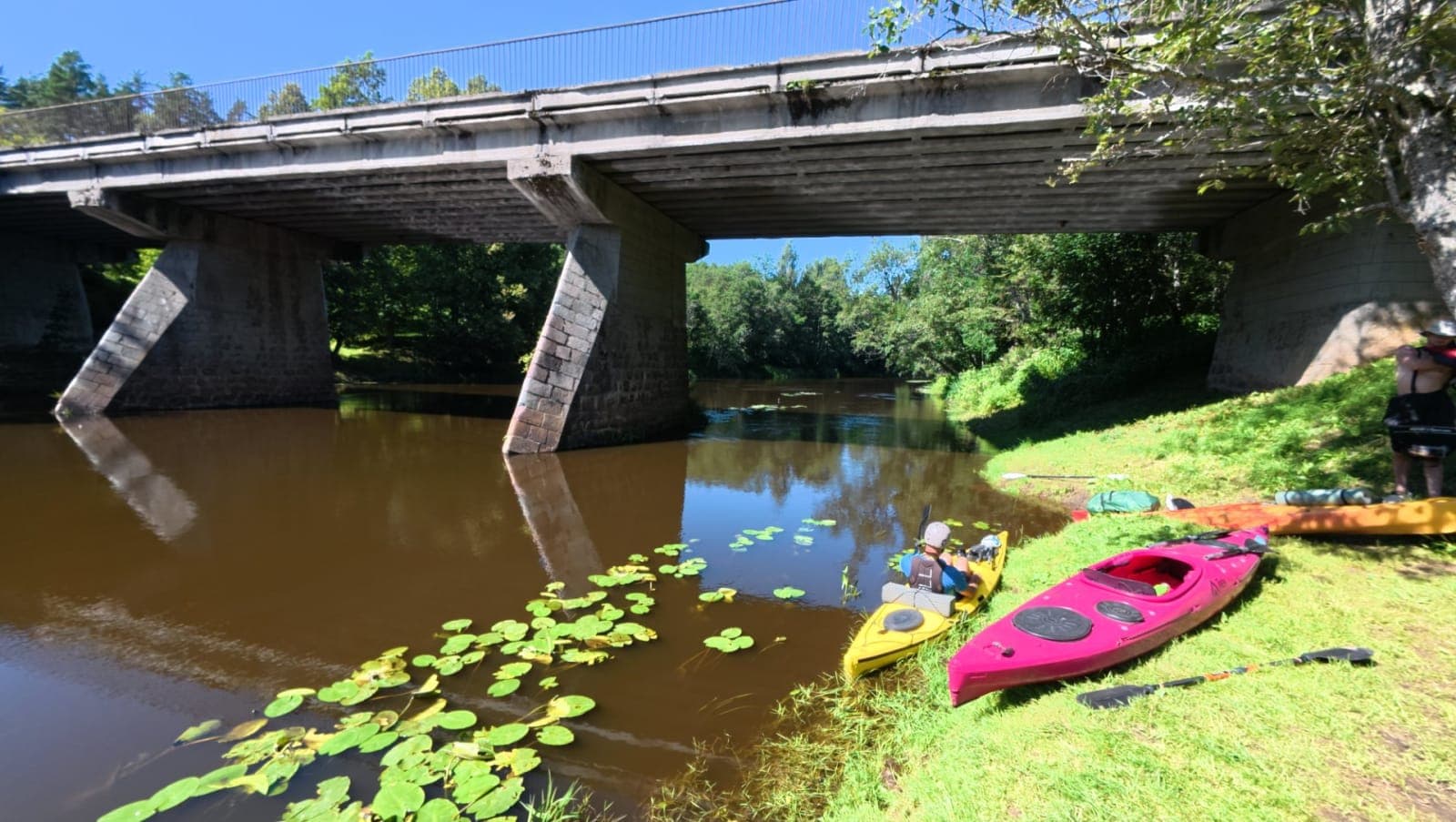
Rozeni bridge over the Salaca river
We finished day three at the Sarkanās cliffs, pulling in at a paid but truly spectacular campsite on the opposite bank. Right before the camp there was one last little rapid — a perfect send-off for the day. The Sarkanās cliff itself stretches about 400 metres and is genuinely impressive — a vivid red rock face that glows brilliantly in the evening sun. The campsite was empty, which meant there was nothing stopping us from celebrating a birthday in proper style. It was also our last night on the river. We'd covered 27.4 km that day, and with only 18 km left to the end of our adventure, the final day was waiting just around the corner.
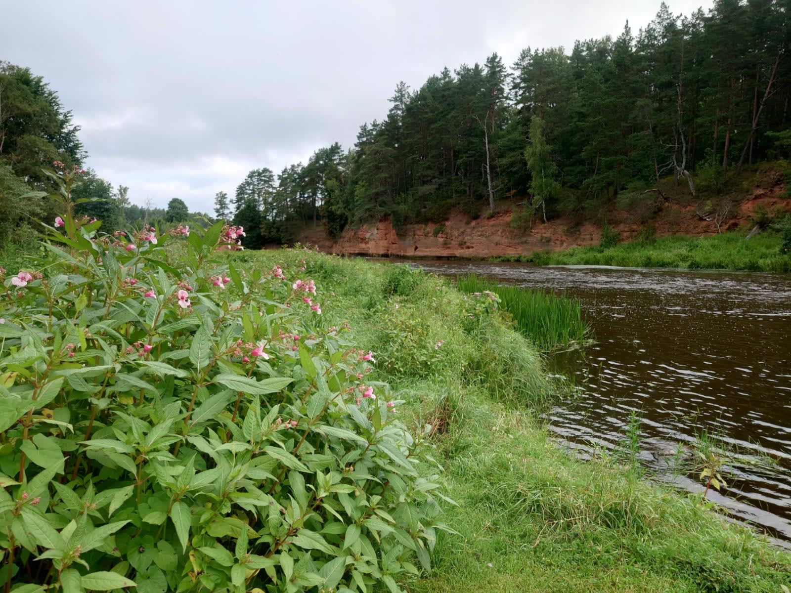
Sarkanās red sandstone cliffs along the Salaca
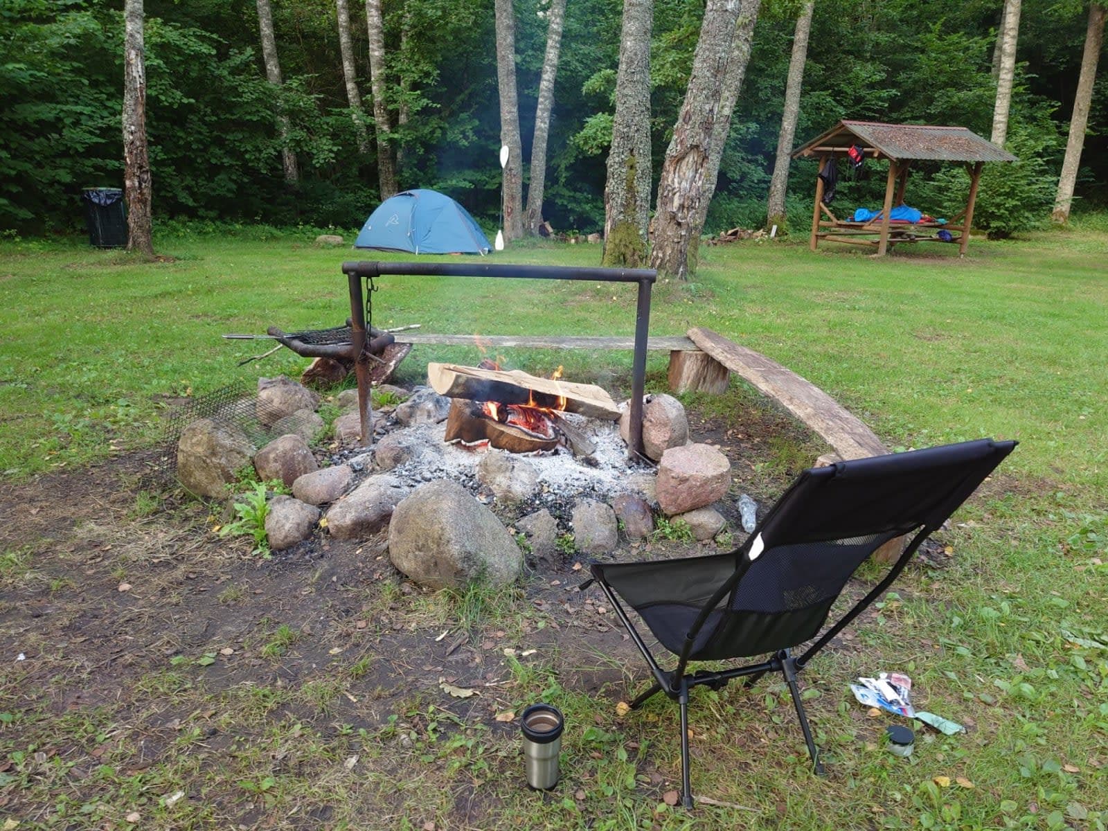
Our last campsite of the trip
The last day hit us with full-on summer heat. One thing I really love about the Salaca is how the ending keeps you on your toes almost all the way to the finish. Most rivers tend to peter out near the mouth — wide, slow, and flat, with nothing to do but paddle and hope you're getting closer. On the Salaca, that kind of slog was maybe just the last two kilometres. Before that, though, there was still a proper drop beneath one of the lamprey bridges. The Salaca is one of the few rivers where special bridges have been built specifically for catching lampreys. Each one had little rapids underneath, and the second-to-last had a seriously satisfying drop — big enough that most boats took on a wave. Plenty of excitement to go around. We'd also spent three days seeing photos and signs in camp warning that at one point a fence had been built across the river, and the only option was to carry the boats around on the right bank. So that's exactly what we did — it wasn't far at all, maybe 10 metres of dragging, if that. Meanwhile, two of the inflatable boats had drifted off somewhere to the left, toward a little backwater I'd noticed earlier. It turned out we were actually on an island, and the river looped around it too. Looking back, I honestly couldn't figure out why we hadn't just paddled around the island from the start. But it gave us a chance to stretch our legs, and the weather was gorgeous — just the kind of easy little detour that fits perfectly into the last day of a trip.
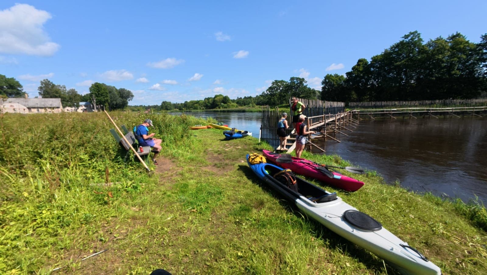
A fence across the river — and the island we could have paddled around all along, as it turned out
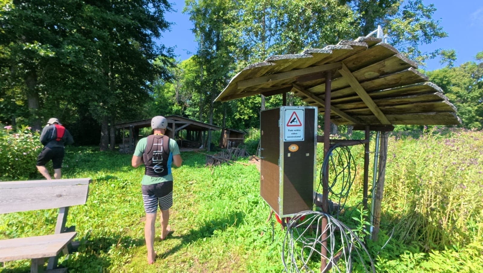
Goats living on the island — in a pen, of course
And just like that, it was over. The Salaca bridge came into view, cars hummed along the highway, and somewhere in the distance the sea glimmered. Those of us in single boats paddled all the way out to the sea, just to make it feel complete. By the end of the day we'd covered nearly 20 km, bringing the whole trip to a total of 97.4 km. Then came the less glamorous part: deflating and packing the boats, sorting gear, shuttling cars, saying our goodbyes, and heading home. Now — that question I raised at the beginning. Gauja had set the bar high. Honestly, the Salaca didn't quite give me the same feeling. It's a beautiful river and the sandstone outcrops are lovely, but they're not quite in the same league as what you find on the Gauja. There, in summer, sandy banks appear around almost every bend — perfect for pulling over and jumping in. The cliffs are taller, the river broader, and paddling it feels like drifting along an endless stretch of beach. On the Salaca, the outcrops are fewer and sandy shores are almost nonexistent. So — would I go back? Absolutely. It's a wonderful, characterful river. But that Gauja feeling? You just can't quite replicate it. And if I have to choose, the Gauja remains my favourite river in the region.
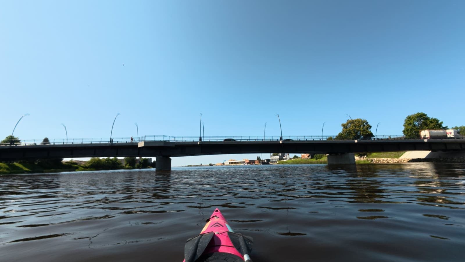
The finish line in sight
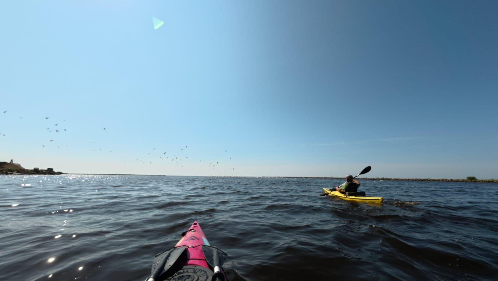
A quick paddle out to sea
And if reading this has sparked the urge to do this trip yourself — don't hesitate to get in touch. I'm happy to give advice, join you on the water, or bring the boats along — whatever works for you. The Salaca is a river worth experiencing, and with good company it becomes an even better adventure.